Drone Roof Inspection in Missoula, MT
Drone Roof Inspection
Before a drone leaves the case in Missoula, MT, the first question is about the sky, not the roof. Missoula Montana Airport handled more than a million passengers in 2025, runs two runways and houses a Forest Service smokejumper base, so airspace near the valley floor carries real traffic. A drone survey starts with the flight plan and the airspace check, and then the roof imagery follows.
We use drones to see large or awkward roofs quickly and safely, and to bring back images that a walk cannot match for overview. The aim is not a gallery of pictures. It is a set of findings tied to places on your roof plan, so a repair crew or an engineer can act on them.
Clearing the Airspace Before Flight
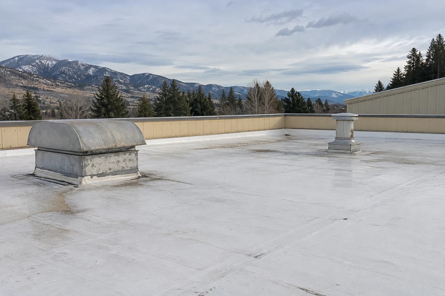
Buildings near the airport, such as those in Wye, about 3 miles from the airfield, or on the industrial land south of the runways, may sit under or near controlled airspace. Flying there requires authorization, and approval takes lead time. We check the airspace class for every site and file for permission when it is needed, so the flight date holds.
Other limits apply on the ground. Neighbors, public roads and people on the property all shape where the pilot stands and where the drone flies. On a busy retail roof, we pick a launch spot away from customers and keep the drone over the owner's property.
Weather limits the schedule too. Wind, rain, low cloud and cold batteries all cut flight time. Roughly 45 days a year stay below freezing all day here, and battery performance drops in the cold, so winter flights are short and selective.
Planning the Flight Path and Image Overlap
A useful survey follows a plan. The pilot flies overlapping passes across the roof at a fixed height, capturing images with enough overlap to stitch into a single orthomosaic. Lower, closer passes follow for details: drains, penetrations, parapets, edge metal and seams.
Thermal imaging, where it is used, needs different timing. A thermal camera shows temperature differences, and moisture in insulation holds heat differently from dry material. The best results come after a sunny day, when the roof has absorbed heat and begins to cool. Late-summer swings that often pass 30 F in a day help create that contrast.
The pilot also shoots oblique angles along walls and coping to catch cracks, staining and lifted edges. When the flight ends, we review the images before leaving the site, so any gap can be re-shot the same day.
Metal roofs get their own flight pattern. Panel seams, fastener lines, ridge caps and rake trim all run in straight lines, so low passes along each line reveal backed-out fasteners, panel movement and rust at laps. On membrane roofs, the same low passes follow seam lines and perimeter flashing. Each pass is logged so the pilot can return to any line that looked unusual.
Choosing Drones for the Right Roofs
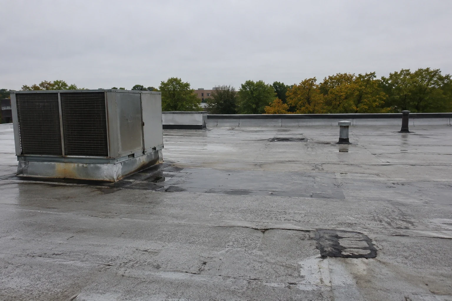
Drones earn their place on roofs that are large, steep, fragile or hard to reach. A distribution building with a wide expanse of membrane, a sloped metal roof with limited footing or a roof with fragile skylights all benefit from an aerial view that saves time and reduces risk. A campus of 64 buildings on 220 acres, like the University of Montana, is where an overview helps rank the roofs before anyone climbs.
Retail owners along the Reserve Street corridor, where Costco, Lowe's and Walmart sit, can use a drone to scan multiple rooftops in a single visit. A downtown building with a tall parapet and limited roof hatch access is another candidate.
For small, simple roofs, a walk is faster and gives more information. We recommend a drone survey when it will tell you something a walk will not, and we say when it will not.
Roof access is the other deciding factor. Some buildings have no interior ladder, a locked hatch or a roof reached only by lift, and in winter an icy surface adds risk. A drone flight removes the need for a first climb, and the data from it tells a crew exactly where to place the lift and what to carry. That shortens the ground visit and keeps the disruption to tenants small.
Turning Images into a Repair List
Raw drone footage does not help a facilities manager. A finished report maps each issue to the roof plan, includes a close-up photo and states the likely cause and recommended action. Open seams, ponding, torn flashing, missing fasteners, damaged coping and surface cracking are all identifiable from the air.
Drone imagery also supports storm response. Hailstones the size of quarters hit central and south Missoula during a 2016 storm, and after something similar, a survey of several buildings can show which roofs took damage and which did not. That ranking guides the order of ground inspections and temporary repairs.
Some conditions cannot be confirmed from the sky. Saturated insulation, deck softness and fastener pullout need contact. When the images raise those questions, the follow-up is a hands-on roof inspection or an infrared moisture survey with core cuts.
Using the Imagery Beyond the First Report
Drone images keep their value. A dated set from this year can be compared with next year's to show how a defect has grown, how ponding patterns have shifted or whether a repair is holding. For owners tracking roof assets, that history feeds roof asset management records and capital planning.
The same imagery helps with scope. A reroof estimate built on a measured orthomosaic reduces surprises at the tear-off, because the dimensions and layout of the roof are known. Contractors bidding the work can use the same images, which makes proposals easier to compare.
For owners in Orchard Homes, Lolo or Florence, a single flight can cover what would take hours on foot, which keeps the visit short for tenants and crew alike. The flight plan names the launch spot, the staging area for the pilot and the tenant access the crew needs to keep clear.
Related Roofing Pages
Tell Us Where the Building Sits and How the Roof Is Reached
Send the address, the roof plan if available and any concerns about airspace or access. We will check the flight requirements and schedule the survey for a clear, dry day.
Call 555-555-5555 or email [email protected].
Questions About Drone Roof Inspection
Do I need permission for a drone to fly over my building near the airport?
Buildings near Missoula Montana Airport may sit in controlled airspace, which requires federal authorization before flight. We check the airspace class for each site and file when needed. Approval can take time, so tell us early if your property is near the airfield.
Can a drone find saturated insulation?
A thermal camera can show temperature patterns that suggest moisture, especially in the evening after a sunny day. It does not confirm water. We follow thermal findings with a ground scan and core cuts so you know exactly where the insulation is wet before spending money.
What weather stops a flight?
Strong wind, rain, snow, low visibility and very cold temperatures all limit flight. Cold shortens battery life, and a roof covered in snow hides the conditions we are trying to see. We reschedule rather than fly in conditions that reduce the value of the images.
Are drone surveys safer than walking the roof?
For fragile surfaces, steep slopes and edges without protection, yes. The drone keeps people off the roof for the overview phase. Where a defect needs close contact, a crew member still goes up, but only to the specific location.
What do I get when the flight is done?
A report with a roof plan marked up with numbered findings, close-up photos for each, a stitched overview image and recommended actions. We deliver it in a form you can share with a contractor, engineer or insurer.